
Detroit Auto Culture
The whole world knows it – Detroit is THE Motor City. From Henry Ford to…


Detroit Auto Culture
The whole world knows it – Detroit is THE Motor City. From Henry Ford to…

Live Music
Aside from being known as the Motor City, Detroit is also commonly known as Motown…

Cruises & Tours
Whether you're exploring historic neighborhoods or the scenic waterfront, Detroit has something for everyone. From…
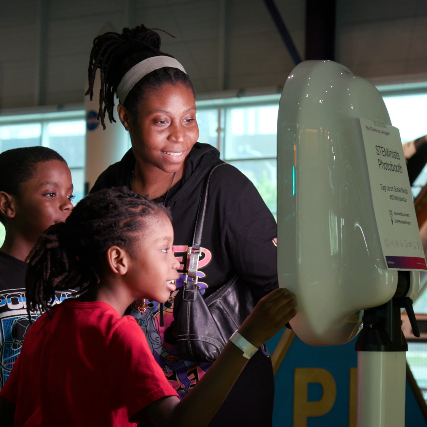
Family Fun
Looking for a family-friendly destination that's both fun and educational? Look no further than Detroit…